Image: Logo or visual representation of the Chino Basin Desalter Authority (CDA), a regional water agency responsible for groundwater desalination and water supply management in the Chino Basin area of…
The Needles Airport (EED) is a general aviation airport located in the City of Needles, California, which is located in the eastern boundary of San Bernardino County. The airport was originally constructed to support cross country flights by TWA and now serves as general aviation along the Colorado River area.
- NewsNews
- Pilot ResourcesPilot Resources
- Maintenance RequestMaintenance Request
- Airport Address & DirectoryAirport Address & Directory

Domestic Water Supply Permit Amendment for the Chino I Desalter Treatment Systems

Apple Valley Airshow returns highlighting vintage jets, car show, skydivers, STEM Expo and more
The Department of Airports is excited to announce the 22nd annual Apple Valley Airshow, NAPA® Car Show and Motorcycle Show is set for Saturday, Oct. 11, 2025, from 9 a.m.…
Airports leadership focuses on operational excellence by investing in staff resources, certifications
The Department of Airports may be a small county department that nearly registers below the public’s radar, but behind the scenes, the small but mighty department stays committed to the…
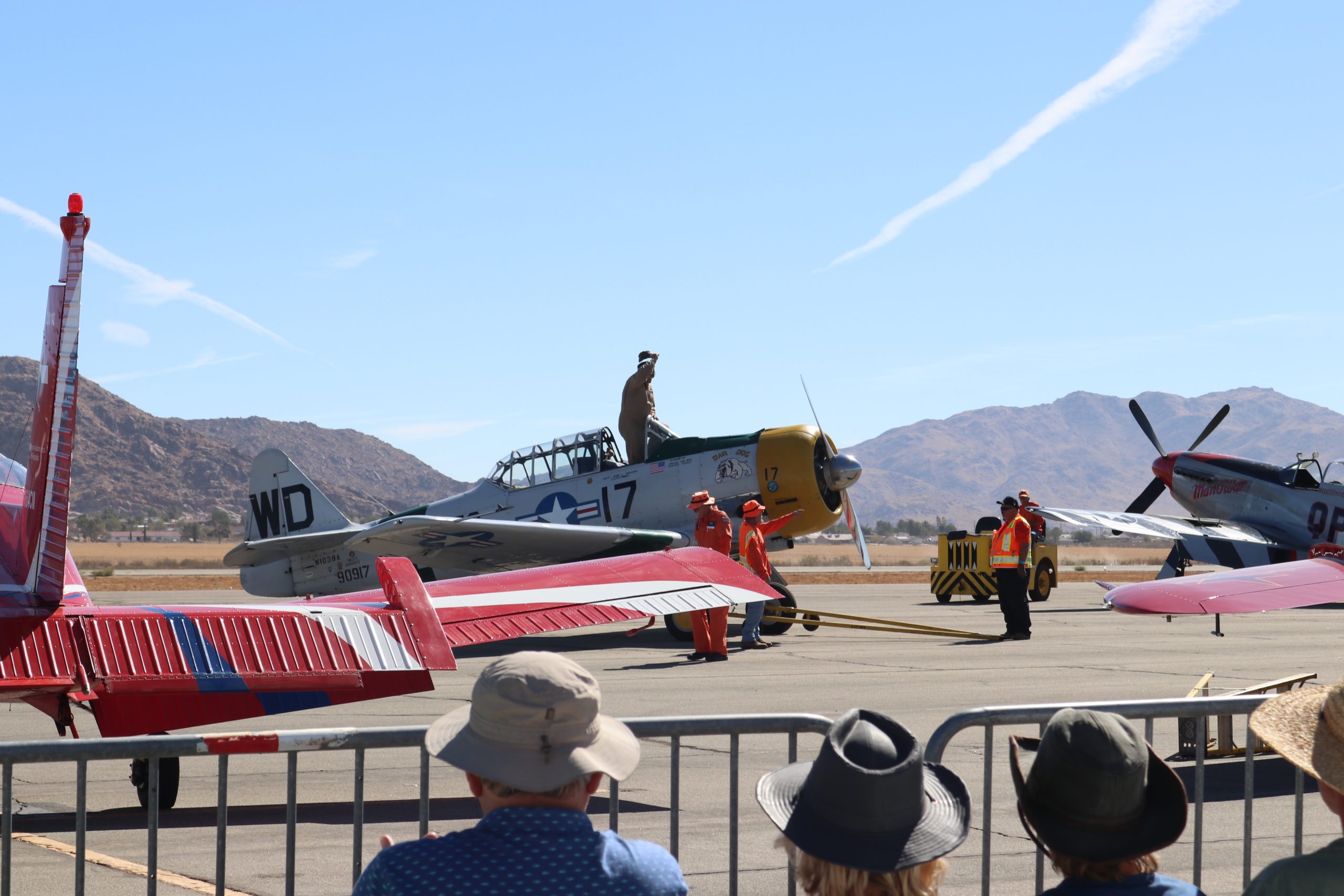
Apple Valley Airshow attracts thousands to see top pilots, car show, STEM expo
The 21st Annual Apple Valley Airshow on Saturday, Oct. 12 was well attended as thousands came out to see jets, aerobatics, military jets, Warbird fly-bys, skydivers, Formation Flying Team, static…
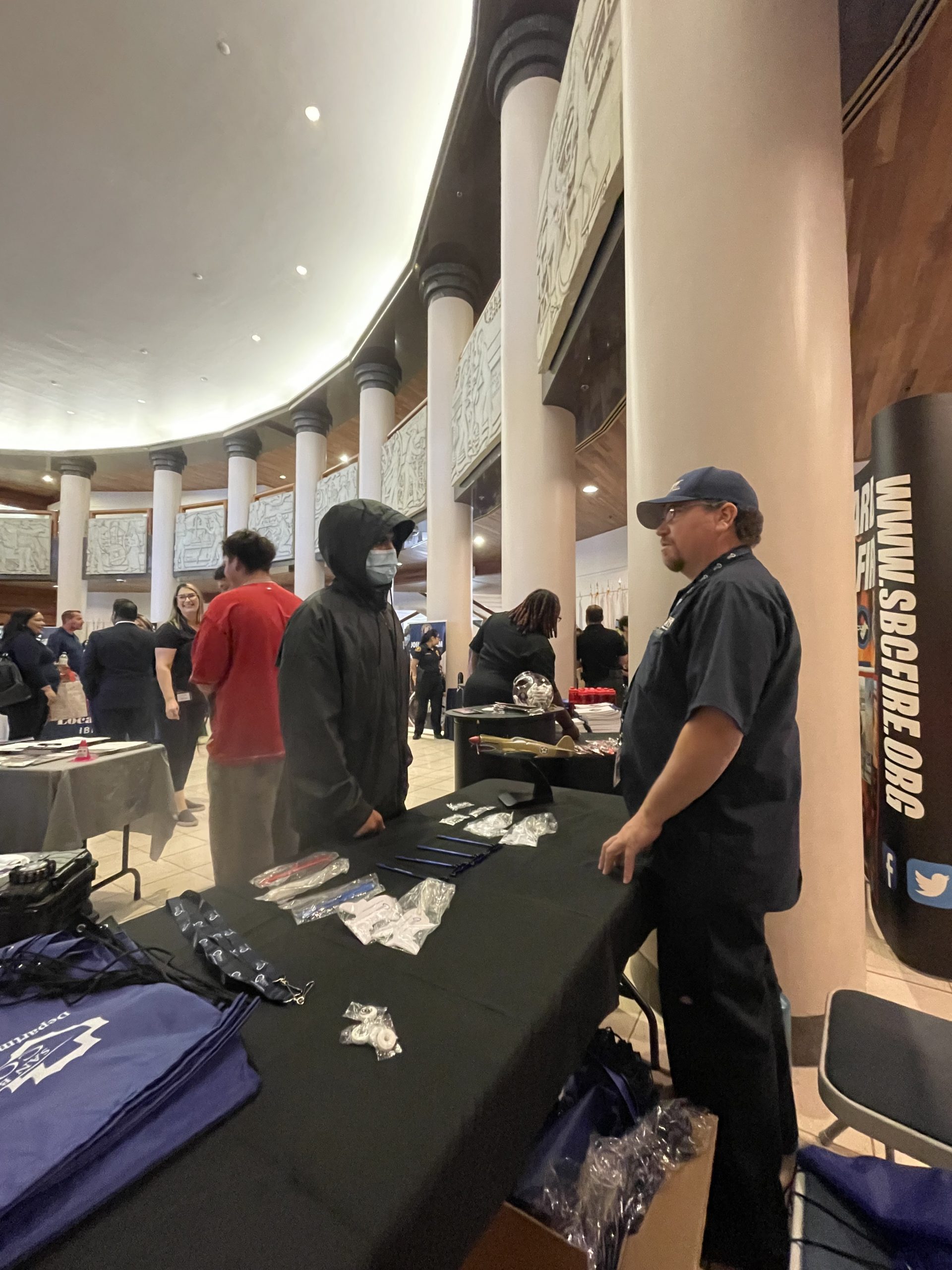
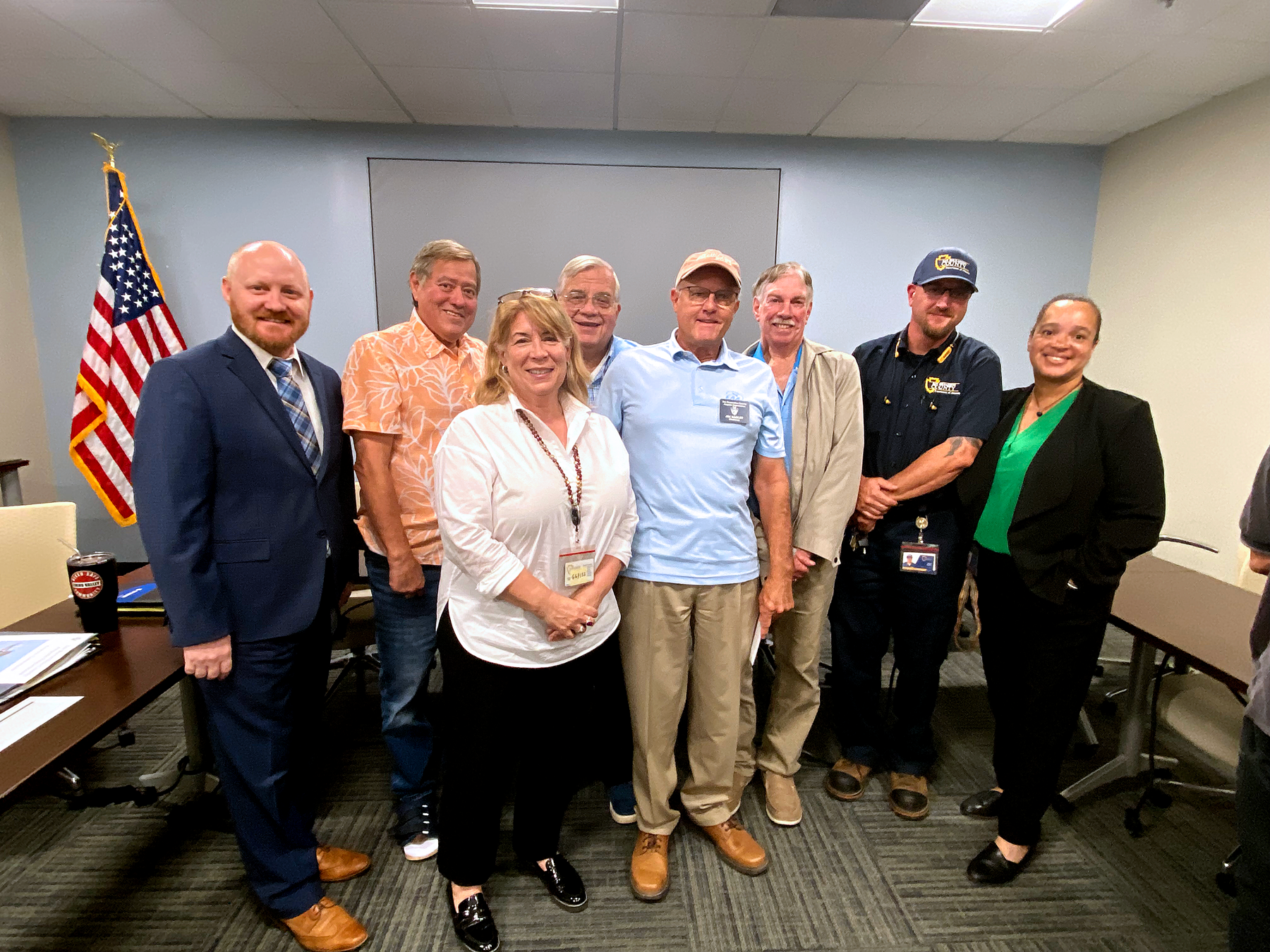
Airports supports local college career fair hosted by Supervisor Baca, Jr.
Airports Maintenance Supervisor Henry Martinez (left) and Airport Operations Tech Kevin Brown talk to students who attended the College Career Day hosted by Fifth District Supervisor Joe Baca., Jr. held…

Apple Valley Airshow returns highlighting vintage jets
The Department of Airports is pleased to announce the return of the the 21st Annual Apple Valley Airshow and NAPA® Car Show on Saturday, Oct. 12, 2024, from 9 a.m.…
Barstow-Daggett at a Glance
AirNav
Website: www.airnav.com/airport/KEED
Aviation Weather Center
Website: www.aviationweather.gov/
Runway Dimensions
11/29
5005’ x 100’ asphalt
2/20
4235’ x 100’ asphalt
Navigation Latitude/ Longitude
N34.77/W114.62
Services
- Fuel
- Minor airframe & power plant service
Maintenance Request
Airport Address
- 711 Airport Road, Needles, CA 92363
- Phone: (760) 247-2371
Important Numbers
- San Bernardino County Sheriff Dispatch
(760) 326-9200 - San Bernardino County Fire
(760) 326-2833
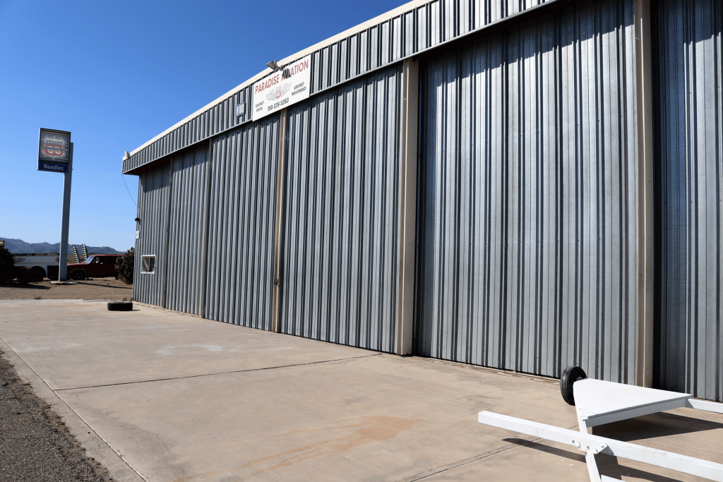
Needles Airport Business Directory
Paradise Aviation
(760) 326-5263
Paradise Aviation
(760) 326-5263

About Needles Airport
The Needles Airport (EED) is a general aviation airport located in the City of Needles, California, which is located in the eastern boundary of San Bernardino County.
The airport was originally constructed to support cross country flights by TWA and now serves as general aviation along the Colorado River area.
History of Needles Airport
The airport It opened in May 1941. During World War II the airfield was known as Needles Army Airfield and was used by the United States Army Air Forces Fourth Air Force. With the end of the war the base returned to civil control.