Airport Locations

Apple Valley Airport (APV)
The Apple Valley Airport (APV) was built in 1970 and is the gateway to the high desert. This region is rich with aviation history, with such adjacent facilities as the Edwards Air force Base, Southern California Logistics Airport and NASA Dryden Flight Research Center.
Services available include: fuel, food, maintenance, rentals and flight training.
Baker Airport (0O2)
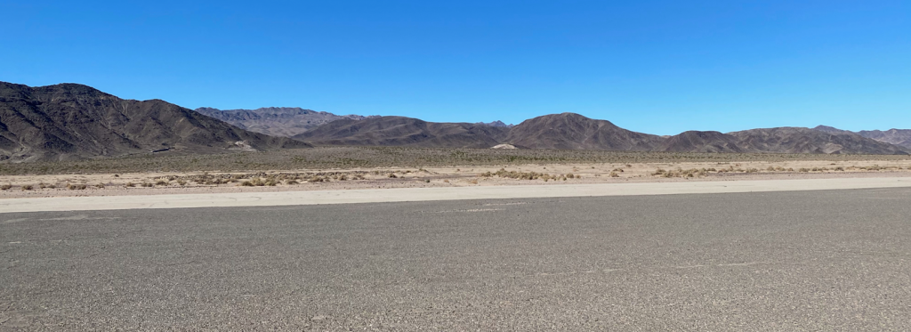
Baker Airport (0O2) is located minutes from the town of Baker, California, and approximately 50 miles from the Nevada Border.
Located at the entrance to Death Valley, Baker Airport is an emergency airfield, as well as a strategic location along the primary route connecting Los Vegas with Southern California.

Barstow-Daggett Airport (DAG)
Barstow- Daggett (DAG) is a general aviation airport located near Daggett, California and approximately 12 miles east of the city of Barstow and is considered a major transportation hub.
The airport is ideally situated to support military training conducted at the Fort Irwin National Training Center.
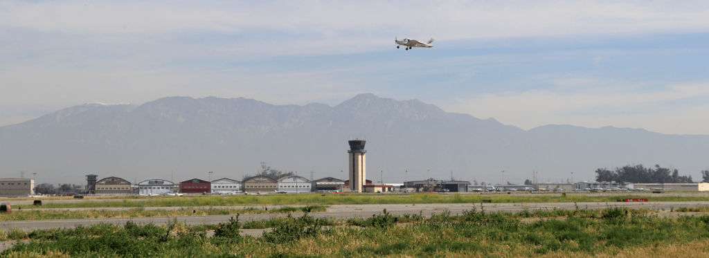
Chino Airport (CNO)
Located at the Heart of the Southern California economy, Chino Airport (CNO) is found in the County of San Bernardino within minutes of Los Angeles, Orange and Riverside counties.
It is the largest non-commercial airport with a 20-mile radius in the region making it a leading general aviation airport of choice for independent pilots, students and trainers and corporate users.
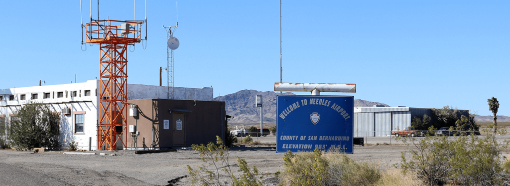
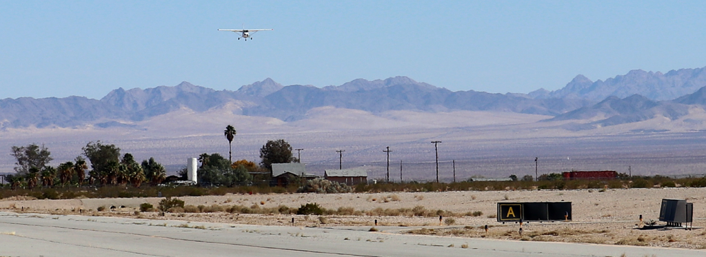
Needles Airport (EED)
The Needles Airport (EED) is a general aviation airport located in the City of Needles, California, which is located in the eastern boundary of San Bernardino County.
The airport was originally constructed to support cross country flights by TWA and now serves as general aviation along the Colorado River area.
Twentynine Palms (TNP)
Twentynine Palms Airport (TNP), near the picturesque city of Twentynine Palms, California, is the closest airport to the entrance of the fabulous Joshua Tree National Park.
The Airport is located in the close proximity to the Twentynine Palms United States Marine Corps base and its support activities.